ID 18496859 © Crystal Craig | Dreamstime.com
Snow, Freezing Rain, and Strong Winds Ex
Winter Storm Watch in place for Red Deer and surrounding area
Dec 8, 2025 | 10:17 AM
-
Share on Facebook
-
Share on Bluesky
-
Share on X
- Copy Link
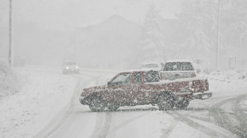
A Winter Storm Watch is in place for the city of Red Deer and surrounding areas.
According to Environment and Climate Change Canada (ECCC), hazardous winter conditions are expected Monday night and Tuesday morning.
Overnight, freezing rain is expected to develop for a few hours particularly for areas south of the Yellowhead corridor and east of Red Deer.
Before morning, a short burst of heavy rain showers or flurries is expected, along with strong northwest winds gusting to 90 km/h. Meteorologists says this will be followed by a rapid drop in temperature, likely causing any wet surfaces to freeze. Blowing snow is also possible in some areas by morning, especially where flurries and strong northwest winds overlap.


