Local news delivered daily to your email inbox. Subscribe for FREE to the rdnewsNOW newsletter.

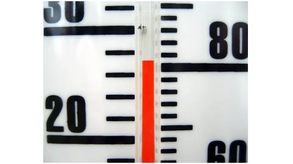
Red Deer sees warmest May on record

Jun 7, 2018 | 3:50 PM

Like many communities across the prairies, Red Deer experienced its warmest May on record last month.

That according to Dan Kulak, an Edmonton-based Environment Canada Meteorologist who says the average temperature in our city last month was 13.4 degrees.  

“The average temperature for May for Red Deer is about 9.7 so a number of degrees above normal,” says Kulak. “It’s somewhat of a significant event with over 100 years of data making a new record here so it certainly was a warm May. May of last year was a fairly warm May as well and we have to go back to basically 2014 to get a May that was cooler than normal and that was 8.9.”

He says it’s interesting to look into what caused May to be so warm.

“Previously it would have been 1998 in the month of May at 13.1 degrees,” says Kulak. “That was actually an El Nino year, coming out of an El Nino into the spring but this year was really a cold winter for much of the winter. April was significantly below normal, it was the sixth coldest April on record to be followed by the first warmest May on record so it’s certainly a turn-around.”

In terms of precipitation, Kulak admits it’s been rather dry this spring.

“The Red Deer area was ranked as the 27th driest out of 105 years of data that we have for precipitation,” he points out. “You get into the warm pattern, it brings a dry pattern, when you get into a cool pattern, it’s also sort of a more moisture pattern. In May, moisture can typically be rain or snow and we’ve moved into June here so snow is certainly less likely and it’s more like thunderstorms and hail in the form of precipitation that we’re going to get now.”

As far as the long range forecast is concerned, Kulak anticipates milder and dryer conditions to continue over the next few months.

“It doesn’t mean that you’re never going to get a cooler day, it doesn’t mean that you’re never going to get a rainy day, it’s just sort of an overall pattern shape for the next three months,” he explains. “Looking back, the highlight is how cold it was in April and how warm it was in May. Looking forward in June, July and August I’m thinking about thunderstorm season and severe weather safety and remembering that lightning is actually the number one killer across Canada in terms of summer weather conditions.”

Kulak says lightning kills more people on average than rain, hail, wind, tornados and hurricanes combined across our country.

“Most of those lightning fatalities are from storms that generally do not have enough other weather threats embedded in them to be eligible for a warning,” he reveals. “They don’t have the strong winds, they don’t have the large hail or threats of tornados so we tend not to take shelter. We then become vulnerable and expose ourselves to risks.”

As we approach the one year anniversary of the central Alberta windstorm on June 20, Kulak says we can also anticipate another day or two of extremely high winds at some point.

“In general, we have to look at these summer weather threats or hazards and storms as part of the climatology,” he explains. “They are normal, they will occur, they are not unusual conditions from the perspective of what happens in Alberta in the summer. It just becomes more and more unusual as you narrow down the area.”