Central Alberta communities among those with new provincial flood mapping
-
Share on Facebook
-
Share on Bluesky
-
Share on X
- Copy Link
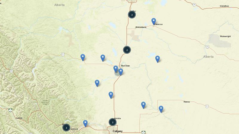
Red Deer County is among several Alberta municipalities that have recently seen the province complete flood mapping in its jurisdiction.
According to the province, nearly 300 kilometres of flood mapping covering Red Deer County, Markerville, Stettler, Vegreville, Pine Creek and Hinton have now been completed.
The government says more flood maps have been completed in the past five years than during the previous 35 years combined. Since 2020, the province says more than 1,850 kilometres of flood maps have been completed.
Officials say all rivers, streams and lakes in Alberta have the potential to flood, so knowing where the water will flow during a flood helps Albertans understand where it is safe to farm and build, and how to prepare for emergency situations.