Local news delivered daily to your email inbox. Subscribe for FREE to the rdnewsNOW newsletter.
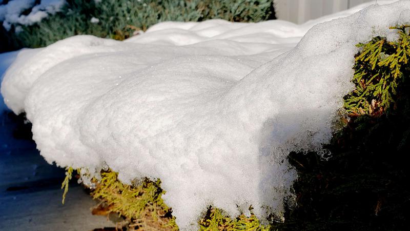
(rdnewsNOW/Josh Hall)
winter weather

New snowfall records set in Lacombe and Red Deer Friday

Oct 17, 2020 | 10:10 AM

A wintry dump in central Alberta on Friday set new records.

Red Deer hit 8 cm, surpassing the previous high of 6.4 cm in 2006.

In Lacombe, 10 cm of snow fell, breaking the previous mark of 4.0 cm in 1984.

Rocky Mountain House also got in on the action with 16 cm, the most on an Oct. 16 since 13.9 cm fell in 2004.

“For the next week or so, it’s generally going to be flurries or at times snow. The upper low we’re under is not really moving too quickly, so it could be just on and off,” says Brenda Niskaaro, meteorologist with Environment and Climate Change Canada.

“Quite often, we do have pretty good Septembers and Octobers, but the last couple years were a bit messier,” she adds. “We did have a ridge of high pressure that was persistent over the area for that time [this year], and it wasn’t changing very much. That’s likely why we were fortunate to have milder weather for so long.”

Elsewhere in the province, Hendrickson Creek, south of Grande Prairie, received 24 cm, while Willow Creek near Claresholm got 19 cm. Nordegg saw 13 cm and Edmonton got off easy with 2 cm.

Winds also peaked at very high numbers around the province. North of Waterton Park Gate on Hwy 6 recorded 141 km/h, and north of Lundbreck on Hwy 22 was walloped with 126 km/h gusts.

Red Deerians can anticipate cold overnight temperatures this weekend with -17 overnight into Sunday, and then -14 as we sleep into Monday. Daytime highs are -4 on Saturday and -8 on Sunday, with sun and cloud expected each day.