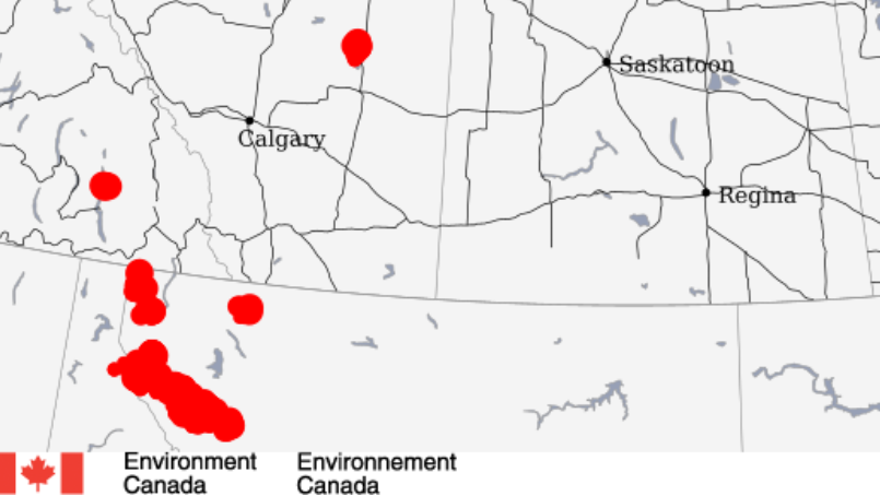
Thunderstorms, strong winds in store for Sunday evening
UPDATE (5 a.m. Monday)
A wind warning issued Sunday afternoon has now ended.
A severe thunderstorm watch previously in effect was ended at 8 p.m. Sunday.
—
UPDATE (5 a.m. Monday)
A wind warning issued Sunday afternoon has now ended.
A severe thunderstorm watch previously in effect was ended at 8 p.m. Sunday.
—
ORIGINAL

It could get very blustery around Red Deer during the latter part of Sunday.
Environment Canada has issued a wind warning stating the possibility of strong west to northwest winds developing this evening and gusts possibly exceeding 100 km/h.
“Damage to buildings, such as to roof shingles and windows, may occur,” the advisory states. “High winds may toss loose objects or cause tree branches to break. Be prepared to adjust your driving with changing road conditions due to high winds.”
The wind warning is in effect for the following areas:
Meantime, a high of 22° is forecast for Sunday.
Thunderstorms may occur Sunday morning, leading to showers around noon.
Thunderstorms could return this afternoon, with wind gusting 30-50 km/h throughout the day.
Overnight, it will dip to 6° with thunderstorms early in the evening. Wind could pick up first at 50-70 km/h, and then gusting to 90 in areas east of Red Deer.
This image for 7:20 a.m. on May 31, 2020 shows there were lightning strikes Sunday morning east of Red Deer. (Environment Canada)Monday looks to be completely sunny with a high of 17°.
The record high for May 31 in Red Deer is 32.2° in 1956, and it dipped to -3.1° for a record low in 2000. The average high is 18.8°
The record rainfall on this day occurred in 1944 when the area saw 31.2 mm.
Track the current wind warning here.


